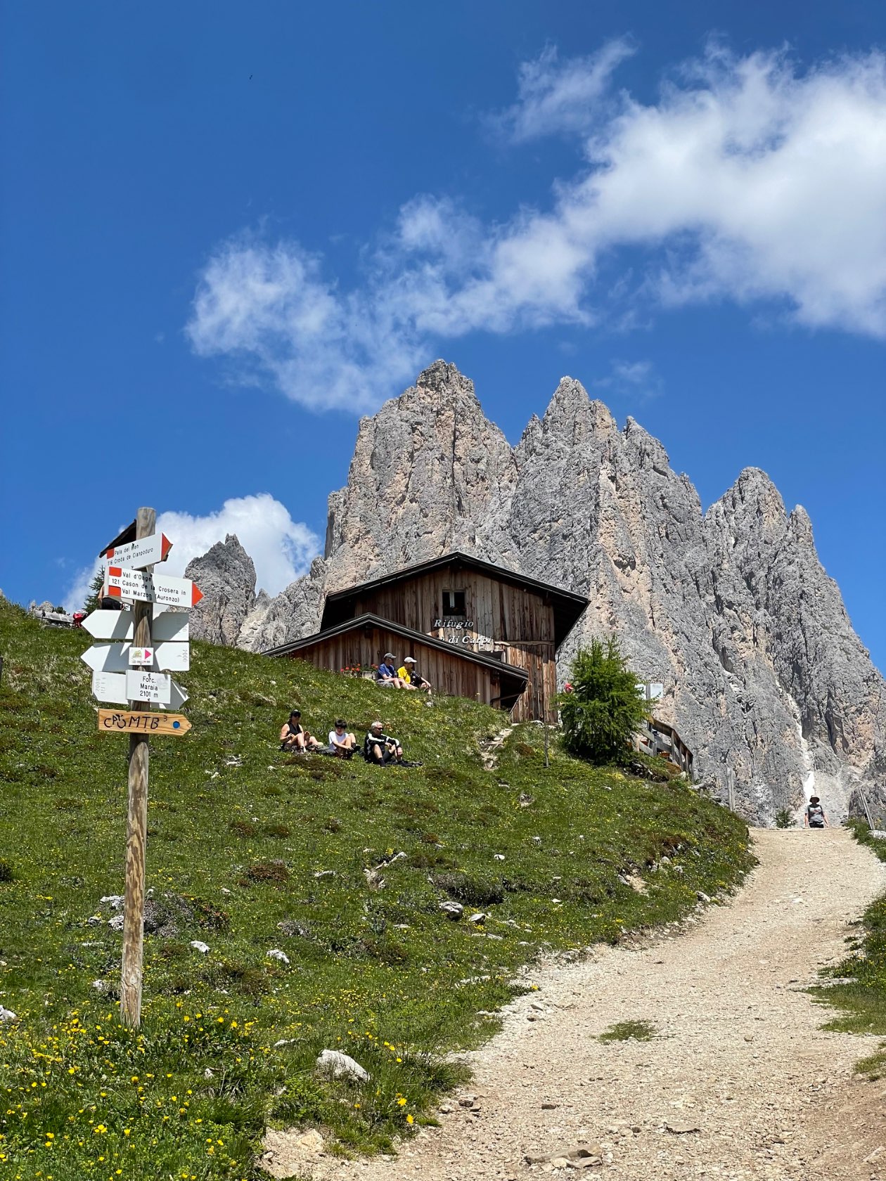
Hike to rifugio Città di Carpi
UpdatedHike on 22 June 2025: 15.0 km recorded. Explore the route, distance and elevation data from my activity journal.
Route overview
- Distance
- 14.98 km
- Moving time
- 4h 03m 07s
- Average speed
- 3.98 km/h
- Elevation gain
- 487.0 m
Explore the routePace, speed, time & elevation
Pace
- Average
- 15:05 /km
- Fastest
- 11:22 /km
- Slowest
- 1:03:50 /km
Speed
- Average
- 3.98 km/h
- Maximum
- 5.28 km/h
- Minimum
- 0.94 km/h
Time
- Moving
- 4h 03m 07s
- Elapsed
- 5h 46m 05s
- Stopped
- 1h 42m 58s
Elevation
- Climbed
- 487.0 m
- Highest
- 2,108.5 m
- Lowest
- 1,751.1 m
Gradient
- Steepest climb
- 21.5%
- Steepest descent
- -16.9%
Interactive route map. You can also download the route below.
Around this post
Have something to add? Write a response on your own website and link to this post.
Responses from other websites appear here.